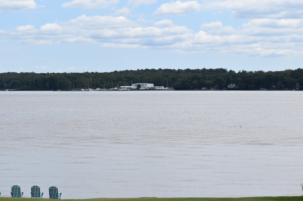
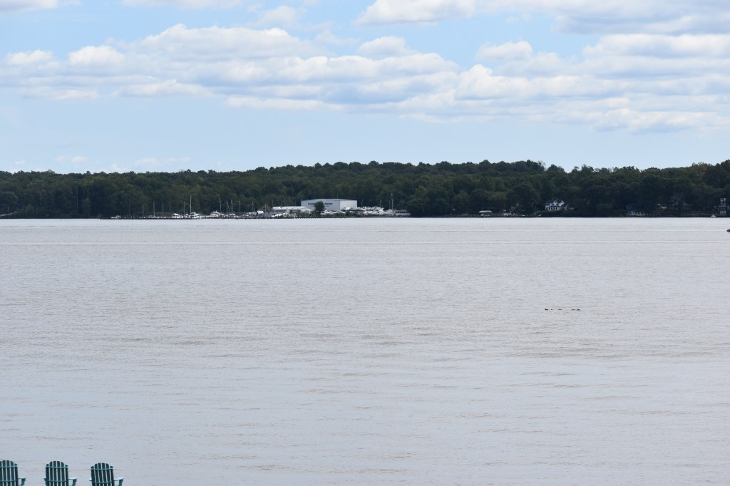
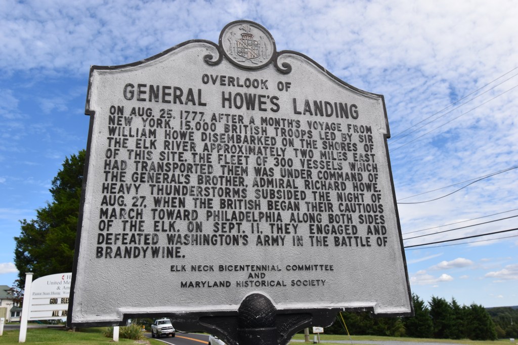
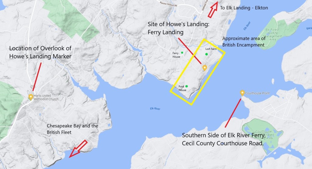
After the long voyage from New York, at 10 AM on Monday, August 25th, 1777, the British Army under the command of General William Howe began landing at Oldfield Point, at the ferry landing location on the northwest bank of the Elk River in Cecil County, Maryland. This began the ground portion of the Philadelphia Campaign.
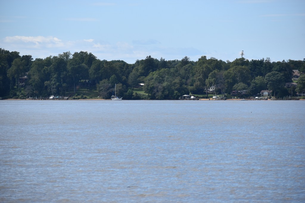
Oldfield Point is approximately nine miles above Turkey Point, the western-most point of the Elk Neck peninsula. It lies approximately seven miles downstream from Elk Landing to the northeast, with the small town of Head of Elk (now Elkton, MD) just beyond.
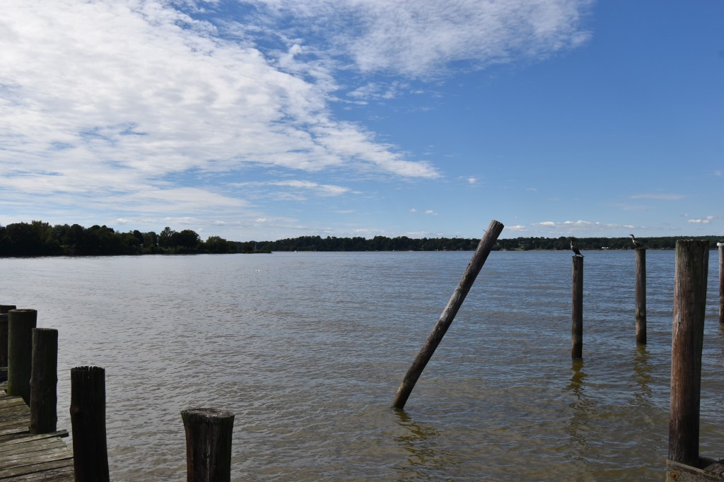
The Elk River ferry was well established by that time, with a portion of the current Old Ferry Road being laid in 1719. The ferry crossing was from here to Courthouse Point opposite, at approximately 1,300 yards.
Unable to sail most of the fleet that far up the Elk River, several smaller ships advanced as far as the water level allowed, and then using 50-troop flatboats, 17,000 men with cannon, horses, and supplies landed and then spread out into the surrounding countryside. At the time of the landing, the area was made up of several large farms and mostly wilderness. I haven’t found a great accounting of what dwellings were in the area, but there weren’t many and by the time the British arrived, everyone had fled the area.
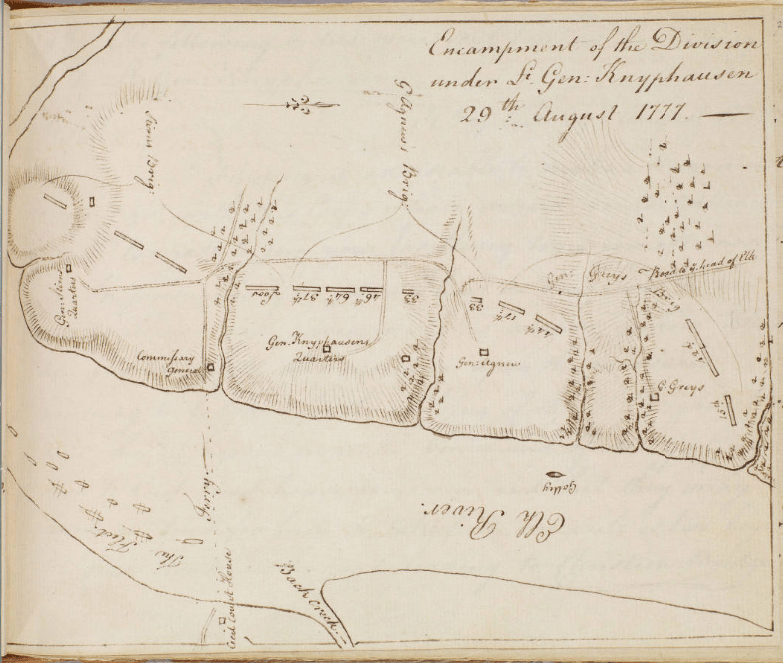
Several buildings of note are the Ford House which was built in 1768 and served first as headquarter of Hessian General Knyphausen on the night of August 26th and then as the headquarters of Hessian General Johann Daniel Stirn by the 29th. Also, in the area was the Joseph Lort farm. The existing home is believed to have been built in the late 18th century, but I haven’t found evidence that it was there at the time of the war. Joseph Lort resided there as early as 1827, but the Lorts captained trading ships during the War of 1812, so were in the area much earlier. Andre’s map shows the location of the headquarters for Knyphausen and Grant during the three days the British were encamped there near the location of the Lort Farm, so it’s possible some residence was there in 1777, if not the current one.
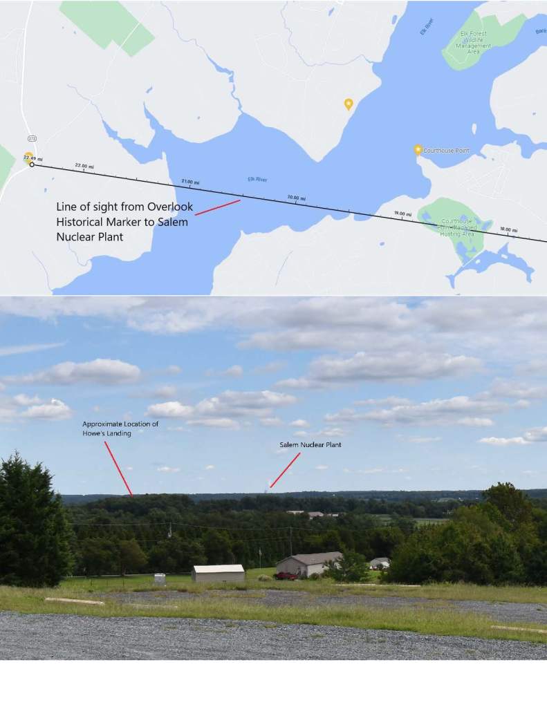
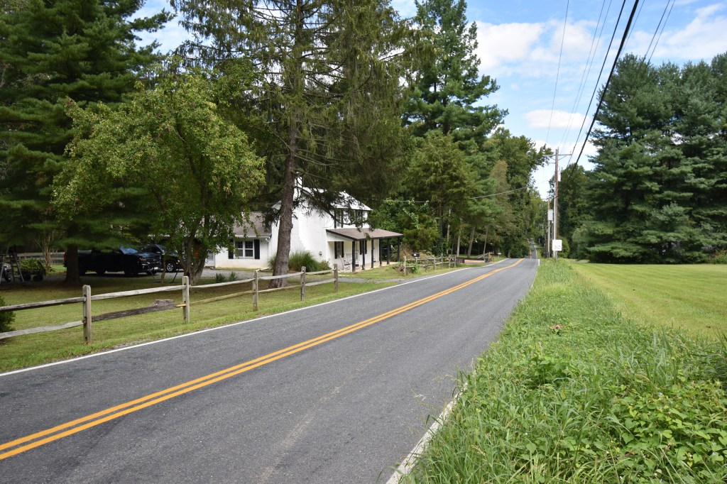
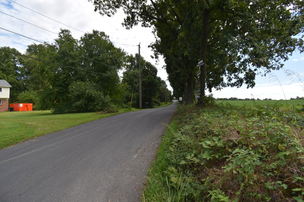
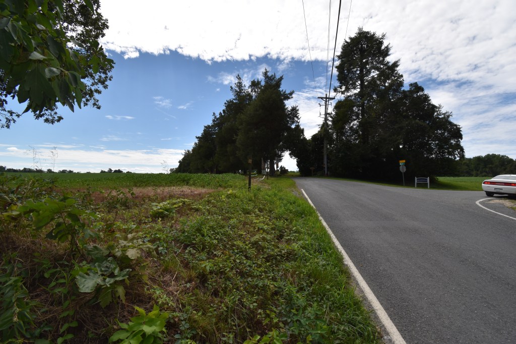
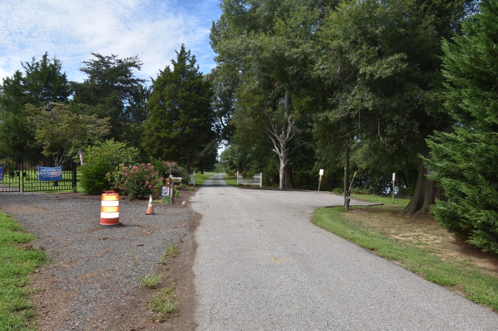
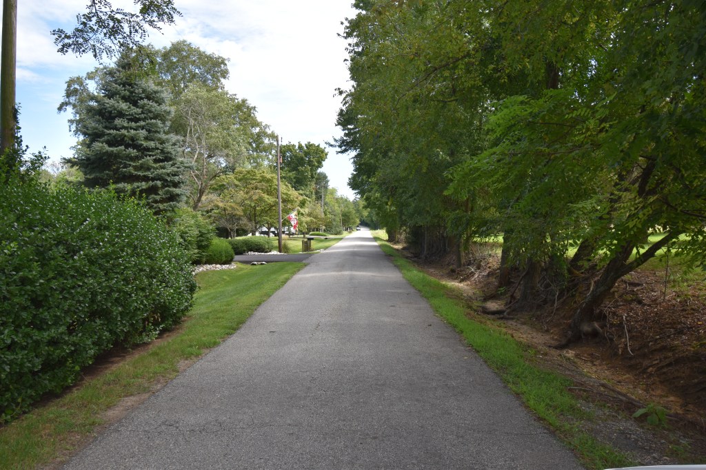
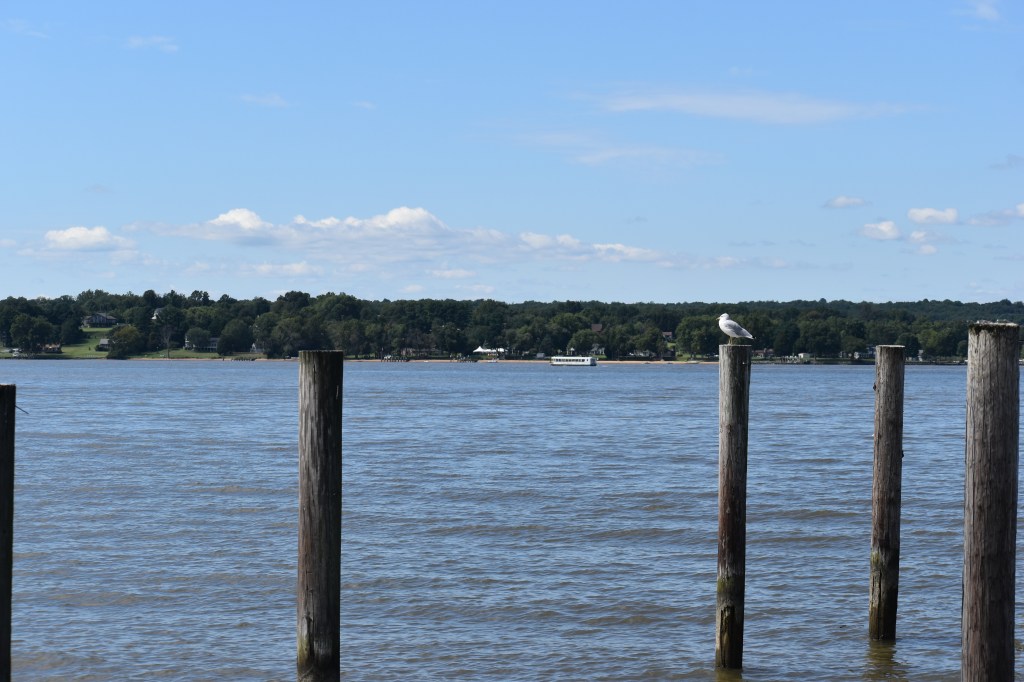
I always wondered why I hadn’t heard anything about historical events, locations or present-day activities at the landing site and vicinity, and likely the main reason is that all this area is privately owned, with no public access to the water’s edge, buildings, etc. A large portion of the western half of Oldfield Point, where the Ford House is located, is accessed through a single private road well marked with no trespassing signs. At least the section eastward is at least accessible through public roads.
At that time Captain John André was serving under Generals Grey and Knyphausen and he maintained a diary detailing his experiences. He drew two maps of the landing area and encampment. Thomas McGuire in “The Philadelphia Campaign, Volume one: Brandywine and the Fall of Philadelphia” on page 138 has reproduced one of the maps and it’s much more readable than André’s original.